As Australia’s cities expand and land releases continue on the fringe of major metropolitan areas, Precinct Structure Plans (PSPs) have become a critical frame of reference for developers. Understanding them is increasingly important for property development in growth corrirdors.
Whether you're pursuing greenfield subdivisions, medium-density housing, commercial precincts, or mixed-use projects, understanding PSPs, and knowing how to interpret them, can be the difference between a profitable development and one mired in delays, redesign costs, and unexpected infrastructure contributions.
So what are they, and how can you make the best use of them as a developer?
What is a Precinct Structure Plan?
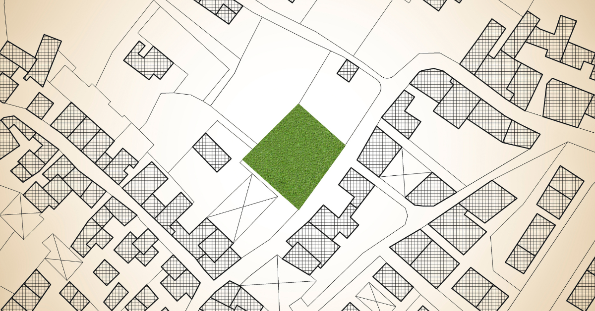
A Precinct Structure Plan is a master planning tool prepared by State planning authorities working in partnership with local councils. The PSP guides how a new community will evolve, covering everything from road networks and public transport routes to parks, schools, employment land, density ranges, drainage corridors, utilities, and community services.
Think of a PSP as the rulebook and roadmap for transforming raw land into a functional, connected suburb. It establishes the planning “ground rules” so developers, infrastructure providers, and government can coordinate and build at scale. For anyone active in land development, having the skillset to read and interpret PSP documentation is not optional - it's fundamental.
Why Precinct Structure Plans Matter
A PSP shapes everything. For example, a parcel of land that appears straightforward may in reality have drainage obligations, environmental overlays, major infrastructure contributions, or buffers for future arterial roads.
Conversely, land in a precinct earmarked for growth corridors, commercial hubs, or key transport infrastructure can deliver outsized upside for those who move early and strategically.
As a result, PSPs directly influence project financials, product mix, and delivery timing. For seasoned property developers, reading and interpreting PSPs is a core competency, not a box-ticking exercise. It is the foundation of due diligence in growth-area development. Understanding PSPs helps identify property development opportunities before the broader market.
 What's in a Precinct Structure Plan?
1. Land Use and Zoning Allocation
The PSP will map land uses including residential, commercial, industrial, community facilities, and mixed-use zones. For developers, key questions include:
High-density or mixed-use zoning near activity centres or transport hubs can create premium development opportunities.
2. Road Network and Transport Corridors
Major roads and public transport infrastructure significantly influence development form and land efficiency. Review:
As an example, a site near a future arterial may benefit from exposure, but traffic noise must be considered.
3. Town Centres, Activity Hubs, and Employment Areas
Locating land within walking distance of a town centre, neighbourhood activity hub or employment zone can materially impact value. Look for:
Land positioned within walkable distance to a town centre or school typically benefits from stronger buyer demand and price resilience over time. For developers, early awareness of future service delivery helps guide staging decisions, marketing strategy, and product alignment with market demographics.
 4. Green Spaces, Drainage, and Conservation Areas
PSPs identify parks, waterways, wetlands, and biodiversity areas that shape both yield and amenity. Developers must assess:
Waterways and open-space networks, while consuming developable land, can enhance sales outcomes and create premium frontage opportunities. The key is to quantify these trade-offs early and integrate them into the design and sales strategy.
I could keep going, but at this rate we'll be here all day! Here's a few more aspects property developers should dive into, just to finish off:
How Does All This Affect Me?
At this point you're probably thinking, okay Rob, I get what a precinct structure plan is about, but how does that affect me as a property developer?
Good question! The fact is, if you're looking at buying a lot in an area governed by a PSP, as well as considering everything I've already covered, timing can be crucial.
Think about it this way. Say the PSP has allowed for thousands of new lots to be connected to various services, roads and more. Often this requires new or upgraded infrastructure. And we all know who gets to foot the bill!
Which means if you're one of the first to buy a lot under the PSP, you could be the one paying for all that new infrastructure. Whereas if you buy later, someone else will have already paid for it.
That doesn't mean you can't be first in line, it just means that if you are, you need to factor those extra costs into your feasibility. The important thing is to understand what you're signing up for. Infrastructure contributions can have a major effect on PSP land development feasibilities.
Inside the Property Development Formula, we show you how to interpret planning documents like PSPs and incorporate infrastructure costs into your feasibility before committing to a deal.
Whether you’re acquiring land, designing product, or executing a staged delivery program, make PSP analysis an essential part of your due diligence and feasibility discipline. When used wisely, PSPs reveal where future value will emerge — and how visionary developers can position themselves to capture it.
Whether you're pursuing greenfield subdivisions, medium-density housing, commercial precincts, or mixed-use projects, understanding PSPs, and knowing how to interpret them, can be the difference between a profitable development and one mired in delays, redesign costs, and unexpected infrastructure contributions.
So what are they, and how can you make the best use of them as a developer?
What is a Precinct Structure Plan?
A Precinct Structure Plan is a master planning tool prepared by State planning authorities working in partnership with local councils. The PSP guides how a new community will evolve, covering everything from road networks and public transport routes to parks, schools, employment land, density ranges, drainage corridors, utilities, and community services.
Think of a PSP as the rulebook and roadmap for transforming raw land into a functional, connected suburb. It establishes the planning “ground rules” so developers, infrastructure providers, and government can coordinate and build at scale. For anyone active in land development, having the skillset to read and interpret PSP documentation is not optional - it's fundamental.
Why Precinct Structure Plans Matter
A PSP shapes everything. For example, a parcel of land that appears straightforward may in reality have drainage obligations, environmental overlays, major infrastructure contributions, or buffers for future arterial roads.
Conversely, land in a precinct earmarked for growth corridors, commercial hubs, or key transport infrastructure can deliver outsized upside for those who move early and strategically.
As a result, PSPs directly influence project financials, product mix, and delivery timing. For seasoned property developers, reading and interpreting PSPs is a core competency, not a box-ticking exercise. It is the foundation of due diligence in growth-area development. Understanding PSPs helps identify property development opportunities before the broader market.
What's in a Precinct Structure Plan?1. Land Use and Zoning Allocation
The PSP will map land uses including residential, commercial, industrial, community facilities, and mixed-use zones. For developers, key questions include:
- What density and lot sizes are permitted?
- Are there opportunities for medium-density or townhouse sites?
- Which land is designated for future commercial or employment use?
- Are there strategic corner lots or mixed-use parcels near future centres?
High-density or mixed-use zoning near activity centres or transport hubs can create premium development opportunities.
2. Road Network and Transport Corridors
Major roads and public transport infrastructure significantly influence development form and land efficiency. Review:
- Arterial and connector roads
- Setbacks and buffer requirements
- Future bus routes or rail corridors
- Intersection placement and access points
- Traffic management expectations
As an example, a site near a future arterial may benefit from exposure, but traffic noise must be considered.
3. Town Centres, Activity Hubs, and Employment Areas
Locating land within walking distance of a town centre, neighbourhood activity hub or employment zone can materially impact value. Look for:
- Proximity to retail and services
- Planned commercial or employment land
- Community infrastructure (libraries, sporting precincts, civic uses)
Land positioned within walkable distance to a town centre or school typically benefits from stronger buyer demand and price resilience over time. For developers, early awareness of future service delivery helps guide staging decisions, marketing strategy, and product alignment with market demographics.
4. Green Spaces, Drainage, and Conservation AreasPSPs identify parks, waterways, wetlands, and biodiversity areas that shape both yield and amenity. Developers must assess:
- Drainage corridors and retarding basins
- Open-space contributions and public land requirements
- Native vegetation conservation or offsets
- Flood overlays and water-sensitive urban design
Waterways and open-space networks, while consuming developable land, can enhance sales outcomes and create premium frontage opportunities. The key is to quantify these trade-offs early and integrate them into the design and sales strategy.
I could keep going, but at this rate we'll be here all day! Here's a few more aspects property developers should dive into, just to finish off:
- Infrastructure Contributions and Costs
- Staging of development and servicing timelines
- Design Expectations and Built Form Guidelines
- Landscaping requirements
How Does All This Affect Me?
At this point you're probably thinking, okay Rob, I get what a precinct structure plan is about, but how does that affect me as a property developer?
Good question! The fact is, if you're looking at buying a lot in an area governed by a PSP, as well as considering everything I've already covered, timing can be crucial.
Think about it this way. Say the PSP has allowed for thousands of new lots to be connected to various services, roads and more. Often this requires new or upgraded infrastructure. And we all know who gets to foot the bill!
Which means if you're one of the first to buy a lot under the PSP, you could be the one paying for all that new infrastructure. Whereas if you buy later, someone else will have already paid for it.
That doesn't mean you can't be first in line, it just means that if you are, you need to factor those extra costs into your feasibility. The important thing is to understand what you're signing up for. Infrastructure contributions can have a major effect on PSP land development feasibilities.
Inside the Property Development Formula, we show you how to interpret planning documents like PSPs and incorporate infrastructure costs into your feasibility before committing to a deal.
Whether you’re acquiring land, designing product, or executing a staged delivery program, make PSP analysis an essential part of your due diligence and feasibility discipline. When used wisely, PSPs reveal where future value will emerge — and how visionary developers can position themselves to capture it.